
 EN
EN
 ar
ar bg
bg hr
hr cs
cs da
da nl
nl fi
fi fr
fr de
de el
el hi
hi it
it ko
ko no
no pl
pl pt
pt ro
ro ru
ru es
es sv
sv tl
tl iw
iw id
id lv
lv lt
lt sr
sr sk
sk sl
sl uk
uk vi
vi et
et hu
hu th
th tr
tr fa
fa ms
ms hy
hy ka
ka ur
ur bn
bn mn
mn ta
ta kk
kk uz
uz ku
ku
Magnetic Ring Settlement Water Level Gauge
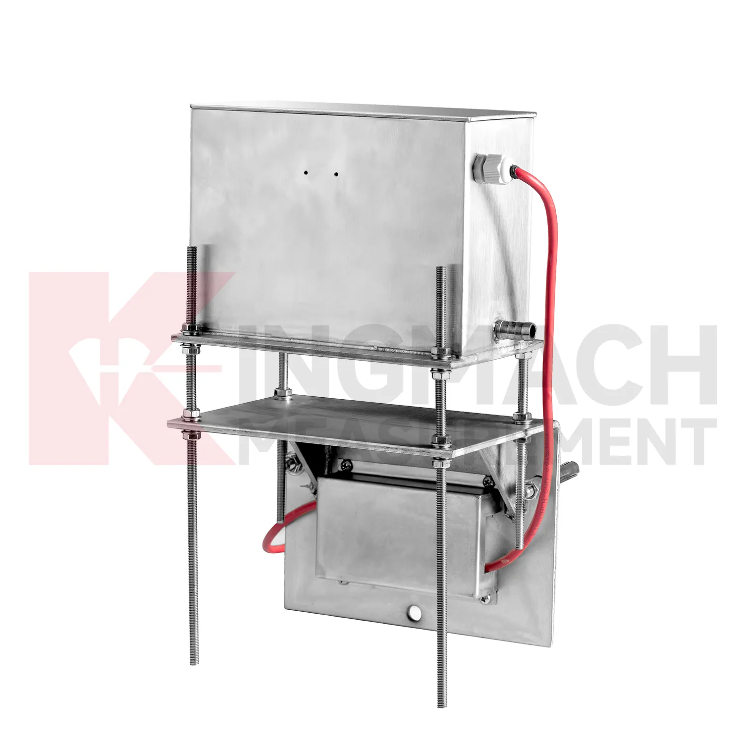
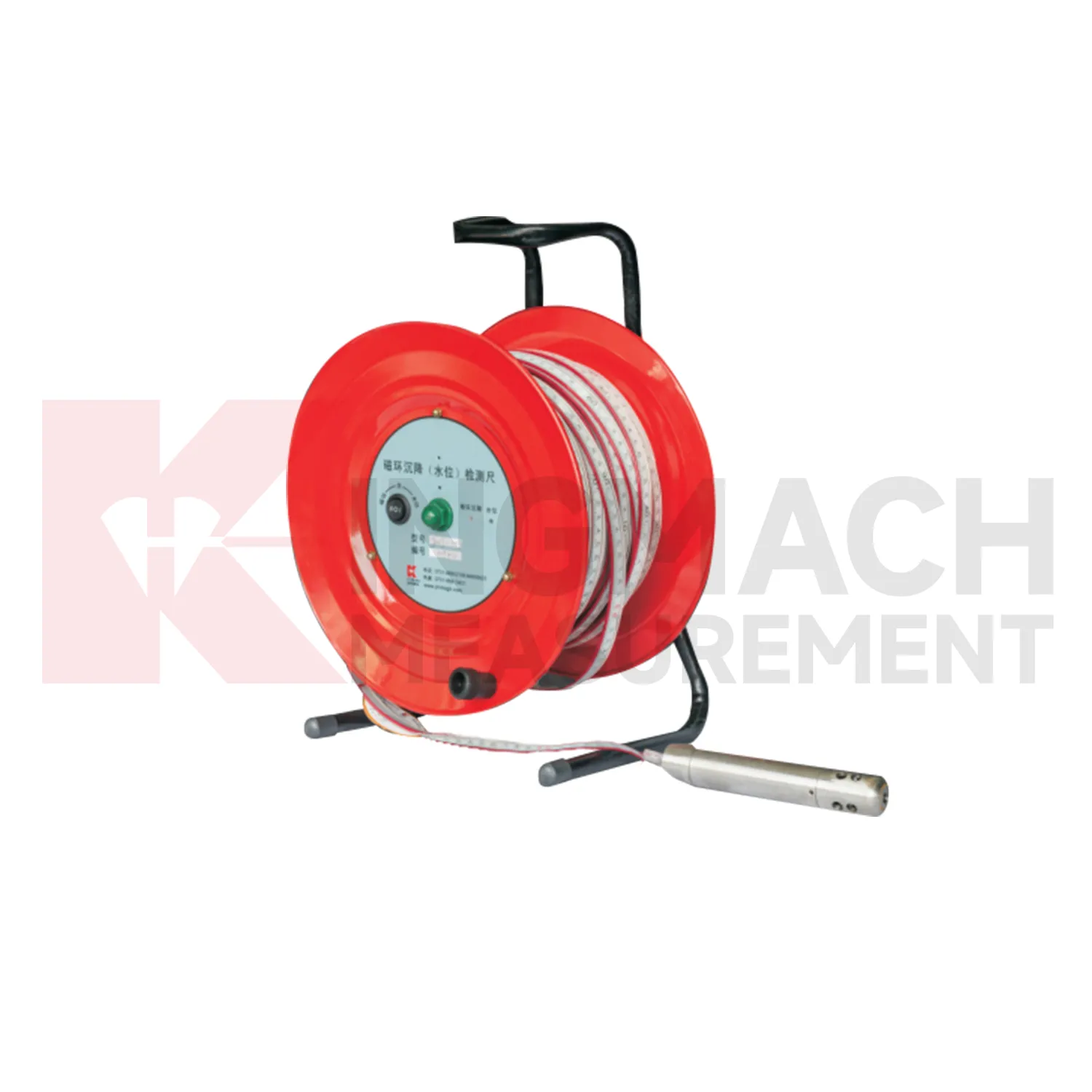
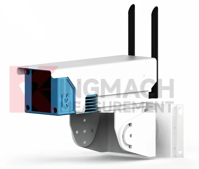
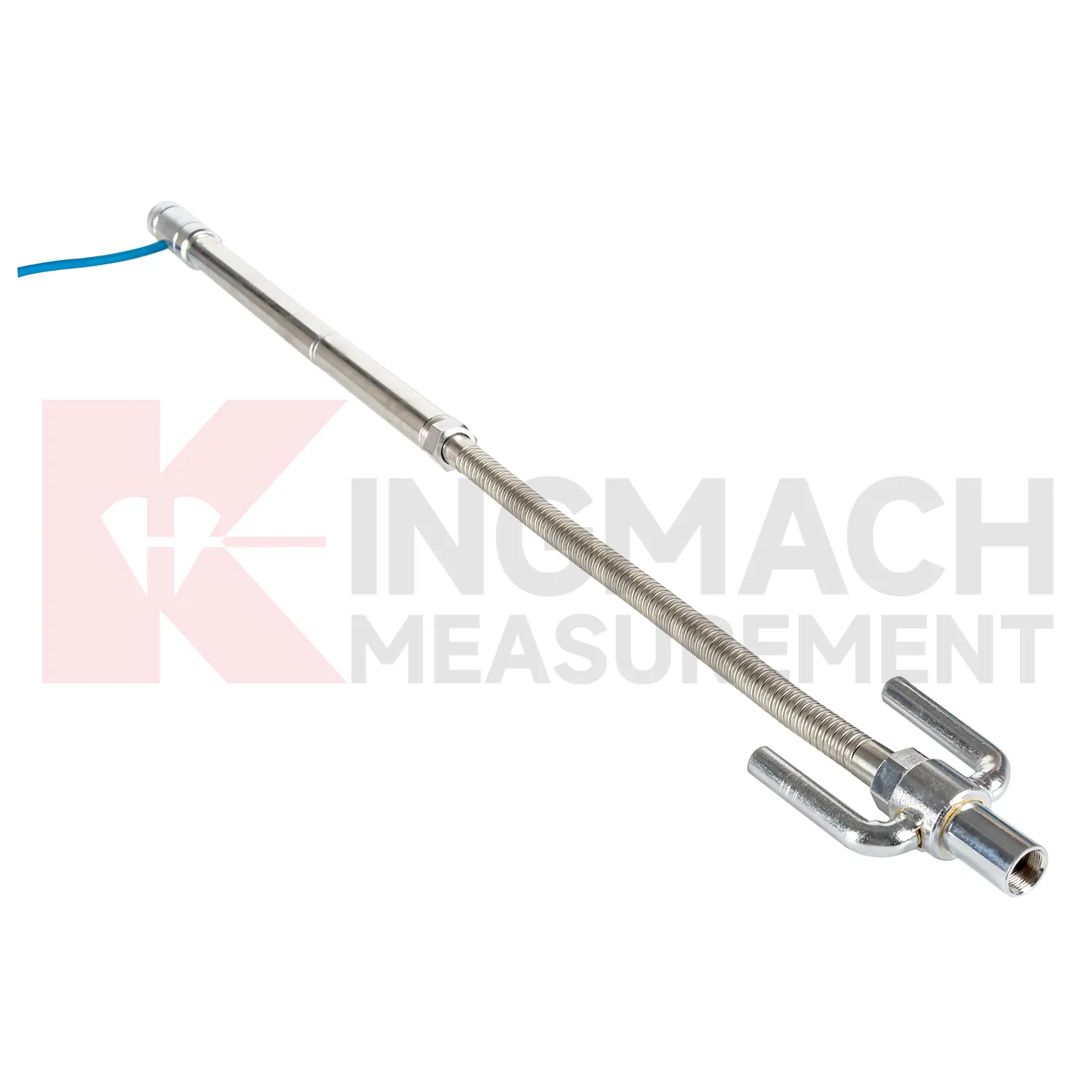
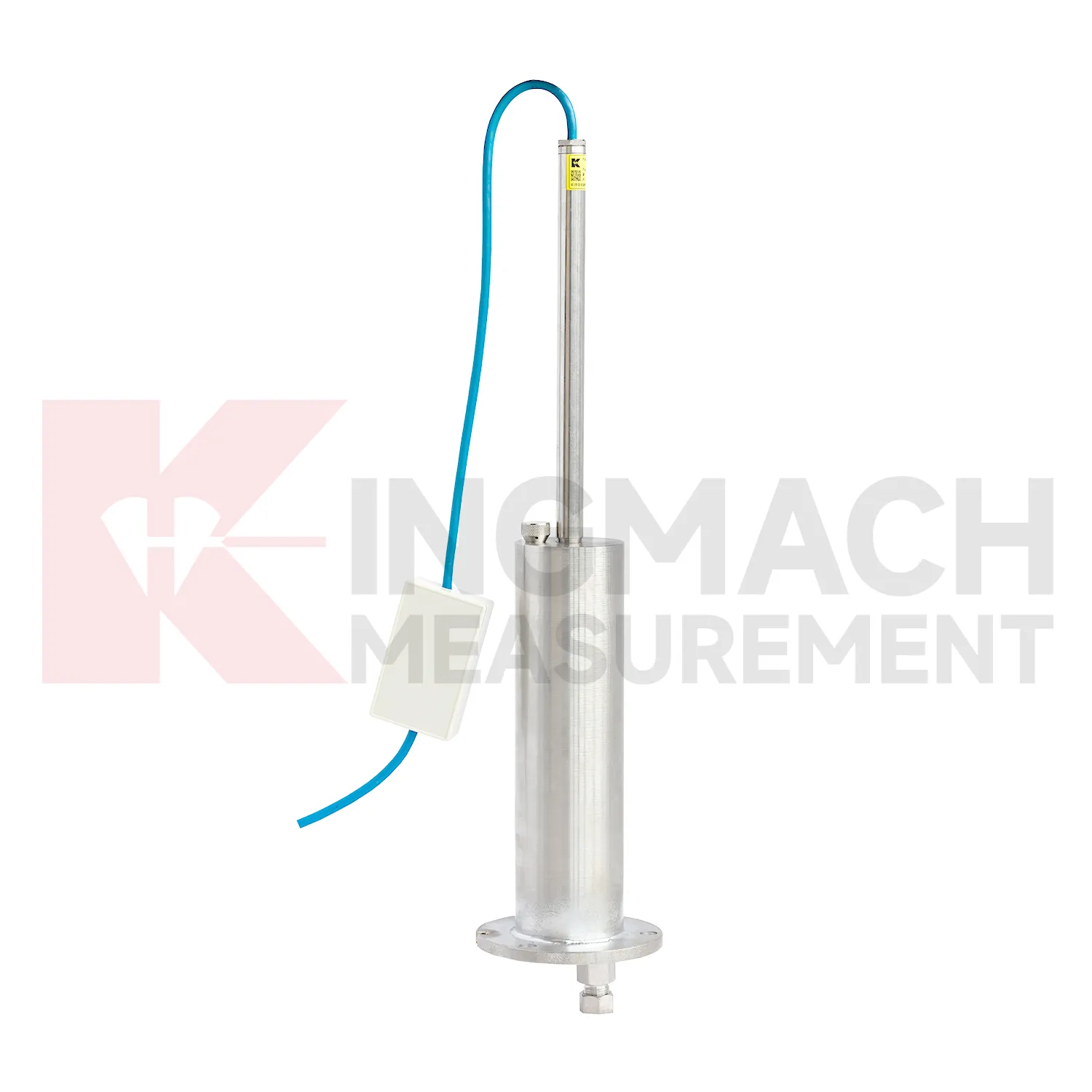
Data acquisition for Kingmach Magnetic Ring Settlement Water Level Gauge can be arranged as manual checking, remote digital collection, or a mixed program. JMDL-47XXAT can be read by comprehensive testers or connected to automatic acquisition for remote transmission. JMDL-62XXADT, JMQJ-62XXADT, and JMYC-62XXAD provide RS485 output, which helps when several hydrostatic channels need to be read from a cabinet or platform. JMCJ-1003/1005 remains a field-reading instrument for magnetic ring depth and groundwater level confirmation. The acquisition plan should define sampling interval, channel address, unit display, reference point, abnormal-data review, and power backup. Manual readings are still useful after storms, construction impacts, cabinet faults, or unexpected curve jumps because they can confirm whether the instrument, reference, or site condition has changed. Good data handling also needs versioned baseline records, clear point names, and visible maintenance notes. Without that discipline, a long settlement curve may look complete but still be hard to trust during engineering review.
Application of Magnetic Ring Settlement Water Level Gauge
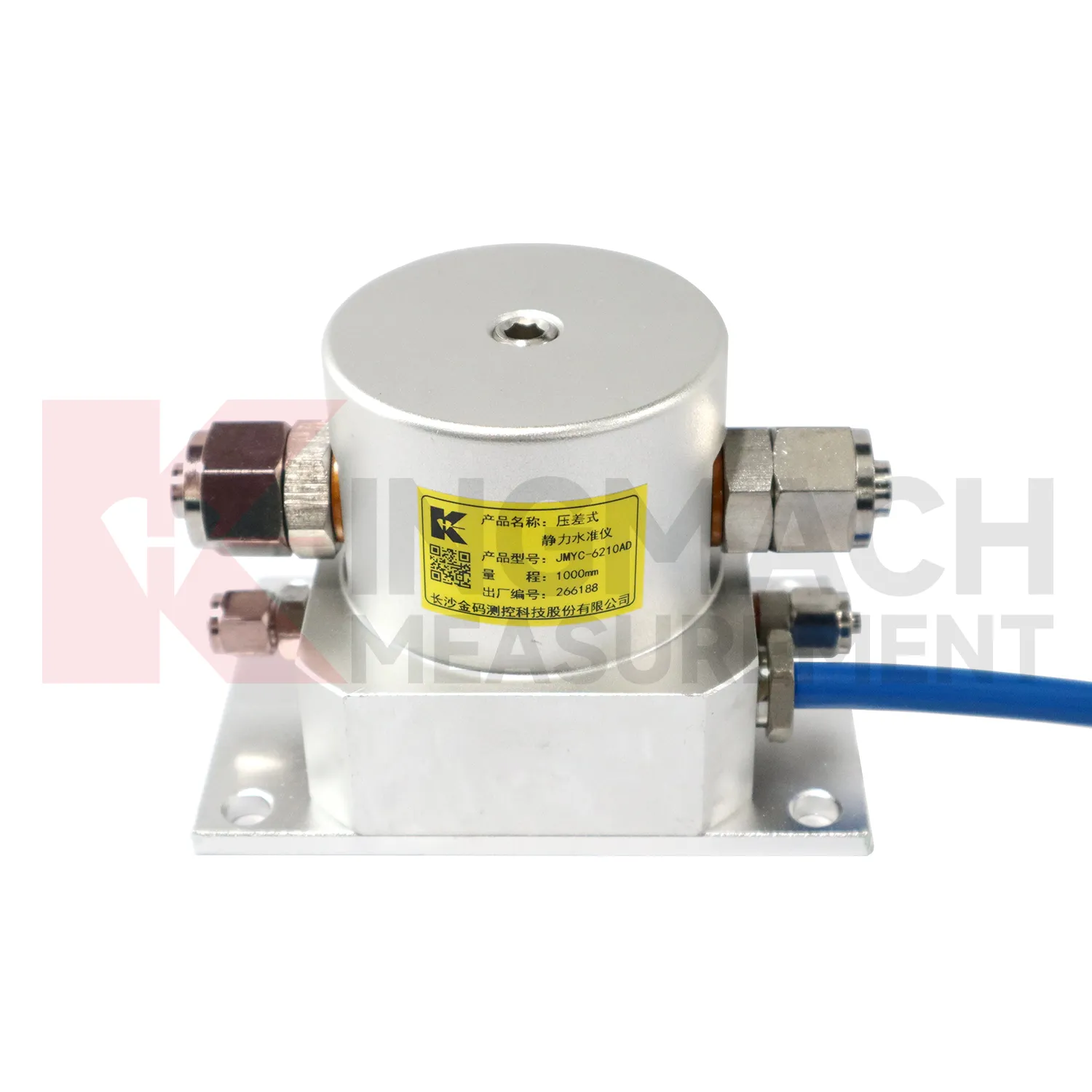
In dam monitoring, Magnetic Ring Settlement Water Level Gauge are used for long-term observation of dam body settlement, gallery deformation, foundation movement, and vertical change near water-control structures. This work has a slow rhythm: reservoir level, seepage, rainfall, seasonal temperature, and consolidation history may all affect the curve. Kingmach JMQJ-62XXADT gives micro range hydrostatic measurement with IP68 protection and 0.01 mm resolution, while JMYC-62XXAD provides wider 500 mm to 4000 mm ranges for larger vertical displacement. JMDL-62XXADT can form a multi-point hydrostatic leveling network when several positions must be compared from one reference. A dam layout should treat the reference location, tube route, cabinet position, cable protection, and access path as part of the measurement system. During operation, engineers should review settlement data with reservoir records, seepage flow, piezometer behavior, inspection notes from galleries, and downstream observation results. The goal is to see whether a slow trend matches expected consolidation or whether it appears near a structural joint, foundation zone, or water level event. Good records make annual dam-safety review more traceable and reduce confusion when readings are checked years later.
The future of Magnetic Ring Settlement Water Level Gauge
Remote infrastructure will shape the future of Magnetic Ring Settlement Water Level Gauge. Many settlement points sit along long railways, expressways, dams, embankments, slopes, and tunnel portals where routine manual reading is expensive and sometimes unsafe. Low-power acquisition, wireless gateways, solar power, and clear cabinet layouts can reduce unnecessary visits while keeping settlement trends visible. Kingmach hydrostatic sensors and settlement gauges that support remote data collection can fit this direction, especially when RS485 channels, power supply, and reference points are documented well. Remote monitoring should still include scheduled field checks, because tubes, probes, cables, and reference points can be affected by weather and construction. The best future setup will combine fewer emergency trips with better evidence for deciding when a site visit is truly needed. The practical goal is to keep settlement data understandable after the original installation crew has left, so owners can compare old and new readings without reconstructing the field history from memory. The same record should remain readable for designers, contractors, owners, and maintenance teams, because settlement monitoring often continues long after the first construction report is finished.
Care & Maintenance of Magnetic Ring Settlement Water Level Gauge
Hydrostatic Magnetic Ring Settlement Water Level Gauge need regular checks of the liquid path. For systems using JMDL-62XXADT, JMQJ-62XXADT, or JMYC-62XXAD, inspect water pipes, connectors, sensor elevation, reference point, cabinet wiring, and tube protection. Kinks, leakage, air pockets, freezing risk, or construction damage can change the apparent settlement curve. Check whether readings change after pipe work, cabinet maintenance, or nearby excavation. For outdoor systems, protect tubes from vehicle traffic, sharp edges, workers, and animal damage. When a reading shifts suddenly, confirm the reference sensor and water path before treating the value as structural movement. Hydrostatic systems can be very useful, but they depend on a clean, continuous, well-documented connection between points. The record should include who inspected the point, what changed on site, and whether nearby instruments showed the same trend, so the maintenance team can separate sensor trouble from real settlement. The record should include who inspected the point, what changed on site, and whether nearby instruments showed the same trend, so the maintenance team can separate sensor trouble from real settlement.
Kingmach Magnetic Ring Settlement Water Level Gauge
In underground works, Magnetic Ring Settlement Water Level Gauge help separate vertical movement from the noise of excavation, support installation, groundwater, and nearby traffic. Tunnel bottom uplift, subway station settlement, foundation pit base heave, and adjacent ground movement can all affect construction safety. Kingmach JMDL-47XXAT is described for tunnel bottom uplift and base uplift in deep foundation pits, while hydrostatic products can compare several elevations across a station or tunnel section. The monitoring plan should define which reading triggers inspection, who receives the alert, and what nearby data should be checked. Settlement should be reviewed with displacement, support force, water level, tilt, and visual inspection. That wider view keeps a single curve from being overread or ignored. For critical infrastructure, the settlement point should be part of a wider review with displacement, tilt, strain, load, rainfall, and groundwater information. For critical infrastructure, the settlement point should be part of a wider review with displacement, tilt, strain, load, rainfall, and groundwater information.
FAQ
Q: How should Magnetic Ring Settlement Water Level Gauge be maintained?
A: Check reference points, tubes, cables, seals, settlement plates, anchors, probes, cabinets, and channel names at planned intervals.
Q: Should zero values be reset casually?
A: No. A reset can hide real settlement. If a reset is necessary, record the reason, time, old baseline, and new baseline.
Q: What data should be reviewed with settlement?
A: Rainfall, groundwater, excavation depth, filling stage, traffic loading, tilt, displacement, strain, and load data can all help explain settlement changes.
Q: What signs suggest a data issue?
A: Flat lines, sudden jumps after maintenance, impossible values, repeated communication gaps, or disagreement with nearby points may indicate instrument or data-chain problems.
Q: What makes a settlement report useful?
A: A useful report includes point location, model, range, baseline, reference point, latest reading, cumulative settlement, rate of change, and field notes.
Reviews
Matthew Garcia
Instrumentation cables are durable and perform well even in harsh environments. Will definitely order again.
Andrew Lee
The visualization software is intuitive and powerful. It helps us analyze monitoring data efficiently.
Latest Inquiries
To protect the privacy of our buyers, only public service email domains like Gmail, Yahoo, and MSN will be displayed. Additionally, only a limited portion of the inquiry content will be shown.
Emma***@gmail.comCanada
Dear Sir/Madam, we are interested in displacement transducers and settlement sensors for a geotechni...
Charlotte***@gmail.comUnited Arab Emirates
Hi, we require instrumentation cables suitable for harsh environments. Could you advise on specifica...
Related product categories
- Micro Range Hydrostatic Level Sensor
- Single-point Settlement Meter
- Optical Deflection Monitor
- Inclinometer-based Hydrostatic Leveling System
- Settlement Monitoring Rod
- Hydrostatic Leveling System
- Photoelectric Deflectometer
- gnss settlement sensors
- settlement sensor
- settlement sensors
- rod settlement gauge
- settlement gauge